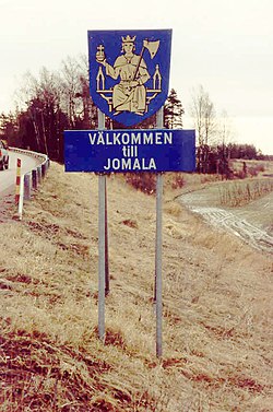
 Jomala is a municipality of Åland, an autonomous territory of Finland.
The municipality has a population of 4,628 (30 June 2015)[2] and covers an area of 686.96 square kilometres (265.24 sq mi) of which 544.43 km2 (210.21 sq mi) is water. The population density is 32.47 inhabitants per square kilometre (84.1/sq mi).
The municipality is unilingually Swedish.
Mariehamn Airport is located in Jomala.
History
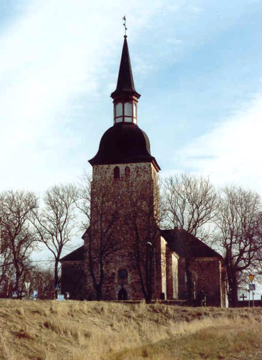
"Jomala" is the name of a god common to many Finno-Ugric peoples. Jumala is Finnish for god and Jomala is one of the sites where Christian church organized itself in Finland. One of oldest churches in Finland stands here as testament to these times.
Jomala was inhabited around 2000 B.C with Jettböle being one of the most renowned prehistoric sites. Other ancient sites include Borgberget, where there was a Viking fortress, and Kasberget which was one of the many mountains where signal fires were lit when enemies were seen approaching.
Before the city of Mariehamn was established in 1861, the peninsula where the city is situated was a part of Jomala.


